Toner Creek Road

1 Star2 Stars3 Stars4 Stars5 Stars6 Stars7 Stars8 Stars9 Stars10 Stars (25 votes, avg: 6.40 out of 10)
Loading...

Connects: Frying Pan Road (CR 104), Strawberry Rock, Old Wagon Road

Aspen Trail Finder Medium TrailsHike_Icon_48Run_Icon_48

Toner Creek Road

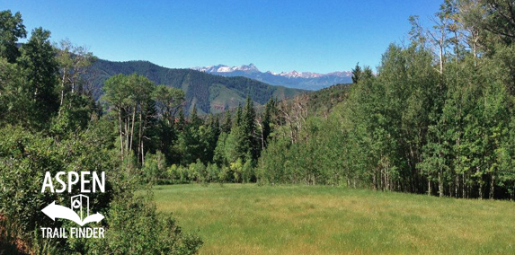
Toner Creek Road in the Basalt State Wildlife Area

Basalt, CO – Medium – 2 Miles – Hike, Run – Dirt

Toner Creek Road, also referred to as Toner Trail, is an intermediate/moderate trail you can hike and run. Winter closure Dec. 1 to April 15. Hunting takes place in October & November in the Basalt State Wildlife Area, use caution and dress appropriately. This is a 2 mile dirt road in Basalt, CO.

More information can be found on the Printable Basalt State Wildlife Area Map or Interactive Basalt State Wildlife Area Map.


View Larger Map

Comments

Subscribe
Notify of
guest
0 Comments
Inline Feedbacks
View all comments
Posted in 1-3 Miles, 2 Miles, Basalt, Basalt State Wildlife Area, Dirt, Gravel, Hiking, Medium, Moderate, Running, Trails Tagged with:

By using this site you agree to the terms of our User Agreement. Read our Disclaimer.

Trail Search

Find a trail. Use 1 or all 4 drop downs to customize your search for the right trail.

Dog Friendly:

  or  

Park Search

Find a park. Use the drop downs to find the perfect park.

Dog Friendly:

  or  

Featured and Mentioned On

Questions? Email us at info@aspentrailfinder.com
By using this site you agree to the terms of our User Agreement. Read our Disclaimer.